17 Apr 2019
The rail industry is launching a new interactive map which will make it easy for passengers to find out about accessibility at stations, helping to boost their confidence to travel by train.
This is part of the industry’s wider programme of work to improve access to rail and deliver long-term change.
The new ‘Access Map’ has information about all stations across Britain and allows people to, at a glance, identify whether any station in the country is accessible so they can plan according to their needs and have smoother and more reliable journeys. Passengers can search for specific stations or view anywhere in Britain using Access Map, which clearly displays:
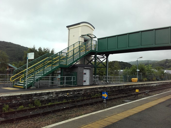
- whether stations have step free or partial step free access
- what facilities are available at a station, including accessible toilets and changing places
- where alternative accessible stations are for on-the-go planning.
Ensuring customers know what to expect at any station will give them greater confidence to travel by train. Access Map is compatible with accessible features on iPhone, Android and desktop computers, including for visually impaired people. It is also being developed as an app, which will be released in the coming months to make it even easier to use on the go, at the touch of a button.
This new map is one part of the rail industry’s long-term plan to increase access to the railway, supporting more people to travel by train. The rail industry is also trialling a revolutionary app and upgrading back-office computer systems used by booking centres and station staff to speed up booking assistance. From November, people will be able to set up user profiles and spend far less time on the phone booking assistance. Beginning next year, rail staff will start using the upgraded systems and by summer 2020, the customer app will go live, helping passengers have more control over their journey.
Train companies are also introducing new, more accessible trains in the next year, which include on-board passenger information systems that provide better audio-visual information about journeys, for example the new Stadler trains for MerseyRail and Greater Anglia, the Class 800 ‘Azuma’ from LNER and the new class 717 trains being introduced by GTR. The rail industry has delivered over £500 million of improvements since 2006 and after the government announced £300 million of additional funding, it will make 73 more stations accessible by 2024.
Robert Nisbet, Regional Director of the Rail Delivery Group, said:
“Our new map will help to boost passengers’ confidence when they travel by train, eliminating the element of surprise and giving them the reassurance that comes with planning a journey and knowing what to expect.
“We know we need to go further and the rail industry is driving bigger changes to make the railway accessible for everyone. We’re investing billions of pounds into thousands of more accessible carriages, developing an app to speed up booking assistance, and upgrading infrastructure to make stations across the country more accessible.”
The Rail Delivery Group worked in collaboration with train companies and the Department for Transport to create Access Map.
Barry Lloyd, Head of Customer Experience at Transport for Wales said: “Making rail travel as easy as possible for everyone regardless of disability or any mobility difficulties is incredibly important to us in Transport for Wales.
“So we’re delighted to see the RDG’s new Access Map, which will be a fantastic tool in helping people see what facilities are available to them.
“This follows the news that 11 of our stations will soon be seeing Access for All investment to make them step free and our own commitment to make 99% of all journeys on our core valleys network step free.”
The rail industry has delivered over £500million of accessibility improvements since 2006, with 75% of journeys now made through step-free stations.
The latest stations to receive funding on the Transport for Wales network are:
Abergavenny
Barry
Caerphilly
Cathays
Cwmbran
Flint
Llanelli
Ludlow
Shotton
Tenby
Trefforest
These projects will be worked on over the next five years.
ENDS
Notes to editors
Notes
- Access Map is available at http://accessmap.nationalrail.co.uk/.
- Every train company and Network Rail is providing the information about stations – they regularly audit their stations and any updates will be reflected and updated within the map and National Rail’s ‘Stations Made Easy’ as they do this. Each station within the Access Map also links to its Stations Made Easy page for updates/announcements.
- Access Map provides further information when you click into each station, including details on when staff are available to provide assistance.
- There are currently 239,000 Disabled person’s railcards in circulation, and this year, 7.5 million journeys were made on them.
- The number of passenger assists has risen by a third over the past 5 years with 1.3million booked assists made 2017-18.
